
California’s Storm: The Coolest View You Will See Today
Story CoachellaValley.com
Photo Cover by Jay Hooker Photography
Update: Tuesday, Dec. 2, 2014: Above is a depiction of the weather we’re seeing today — actually a visualization of surface winds as derived from National Oceanic and Atmospheric Administration data and rendered in Web developer Cameron Beccario’s “Earth.” This has been making the rounds for a while (here’s a nice December 2013 write-up from Slate’s Will Oremus). But every time I look at it again, it stirs a sense of wonder. Just check out that low-pressure center spinning to the west of us.
User tips: Click on the “Earth” box at the map’s lower left corner. That opens up the map to a wider view. Click “Earth” again, and you’ll get a bunch of visualization options, including looking at ocean currents or viewing the winds at different atmospheric pressure layers (the view below shows surface winds, but take a look at the 500-millibar level, for instance, to see how fast the winds are moving high overhead). The line marked “control” lets you set the visualization time: click on “Now” to see conditions at the most recent update (the visualization is refreshed from new data every three hours), and click on the arrows to go back in time or forward (future views use data from forecast models).
Related Articles

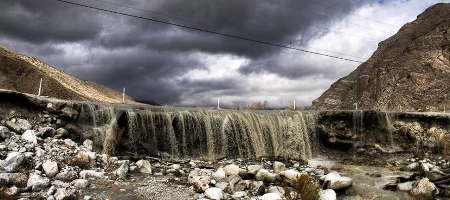
Rain and Snow Continues All Week, High Wind Warning
(Coachella Valley, CA) – City News Service Reports Temperatures will continue to be below average during the day and at night,
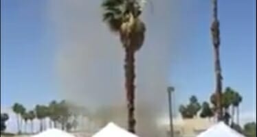
Caught on tape Dirt-Nado hitting downtown Palm Springs at the Vintage Market on Indian Canyon near Alejo
Dirt-nato hits downtown Palm Springs during the last Vintage Market held this season reaking havoc on several vendors and cars.
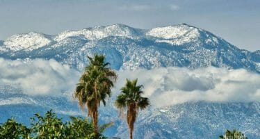
Rain To Return To the Coachella Valley
Another storm is on its way to the Palm Springs area. PALM SPRINGS, CA — Our wet weather isn’t done
